Base de données des projets PDR
Mapping Cultural Landscapes and Heritage on the Island of Madeira
Summary
Modern information and communication technologies (ICT-based) have been used on the island of Madeira to support the conservation of thousands of cultural landscape features and to raise local awareness of sustainable development
Background
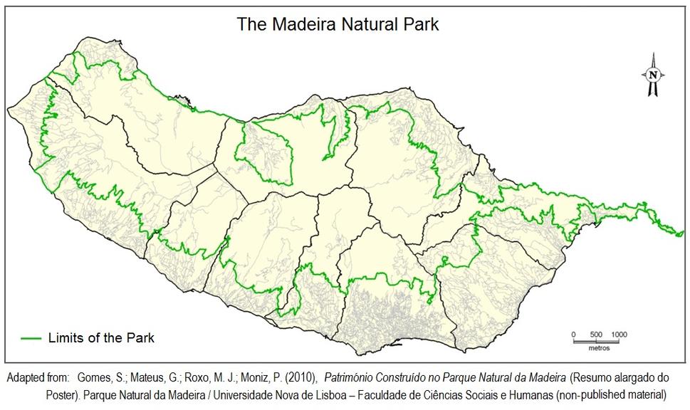
The Madeira Natural Park (PNM) was created in 1982 and occupies around 70% of the island. Several policy tools for nature protection and conservation have been applied to the PNM by the island’s regional government, including the designation of protected landscape areas “where typical aspects of habits and cultures remain and where the traditional activities are expected to be continued". More recently, EAFRD support has been used to promote the conservation of architectural heritage in the PNM.
Objective
The main objective of this project is to use GIS and geo-referencing (with GPS) to help preserve the architectural heritage of the PNM by promoting the re-discovery of values, practices and cultural traditions associated with the traditional construction techniques and rural history of the island. Project costs are co-financed by EAFRD measure 323 - conservation and upgrading of rural heritage.
Main activities
The project undertook a detailed survey of the built heritage of the PNM by using orthophoto-maps and GPS to georeference the thousands of traditional landscape elements built by islanders, including churches and chapels, traditional houses, walls, mill streams, watermills, community wells, fountains, barns, pathways, old industrial facilities, bridges etc. All of these elements have been recording in GIS format (using Geomedia software) for use in future studies and landscape planning.
Results & Benefits
The project has promoted the understanding that landscape management and environmental protection are multidimensional processes that need research and good data to encourage / support the adoption of more sustainable attitudes, behaviours and practices. As a result of the project, awareness about the importance of cultural heritage in the landscape has grown amongst tourist operators and the owners / managers of valuable landscape elements, including those which are degraded or unrecorded
Lessons learnt
Researching the built heritage of the PNM has highlighted the usefulness of GIS and georeferencing to collect widespread territorial information in a challenging landscape (i.e. rugged inland mountain terrain of Madeira).
Project location and other information
Island of Madeira, Portugal
Region
Madeira
RDP Territory
Madeira
Total project cost (€)
28 534
EAFRD contribution (€)
24 254
Project website
Contact name
Graça Mateus
Telephone
+35 129 121 4360
Languages for contact
English, Portuguese
At a glance
Country
Portugal
Final beneficiary type
Other
Budget range
€20 000 - €99 999
Start date:
01/09/2010
End Date:
31/12/2011
Theme / Measure:
• Rural Quality of Life & Economic Diversification
• Improving quality of life in rural areas
• 323. Conservation and upgrading of the rural heritage
Keywords:
Protected area, Information technology, Landscape, Cultural heritage, National park
Last update
12/11/2012